
From the Philmont Trail Guide:
Ponil was known as Five Points in the days when it was the headquarters of the Philturn Rocky Mountain Scout Camp, because of the five canyons which meet here within the space of a mile - Horse Canyon, Cedar Canyon, South Ponil Canyon, and two of the Middle Ponil Canyons. The trail to Indian Writings begins behind the staff dining hall.
North Ponil Canyon was an area of intense Indian settlement about one thousand years ago. You can see on the rocks near the Indian Writings Camp the petroglyphs left by these people of a marginal Pueblo-Plains culture. Accompanied by the archeologist housed at Indian Writings, you may visit the main site where a pithouse and a slabhouse have been unearthed.
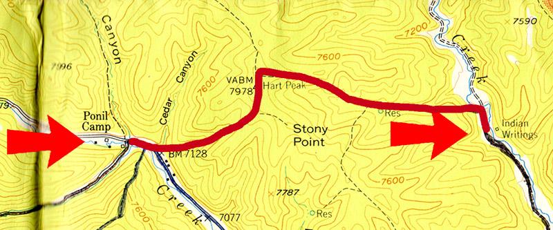
Route for the day
From my journal of 1967:
Woke up & cooked breakfast. Did last 1-1/2 hours for 50-Miler Award, total of 10. Had a steep climb to top of Hart's Peak, ate lunch & took pictures. A steep downward climb to Indian Writings. Had a talk on archeology & saw "Indian writings". Late dinner & to bed.
Hart Peak is 7,978 feet tall, so it was somewhat easier than Baldy. The fact that we didn't have to climb hands and knees over piles of loose rocks was a definite improvement.
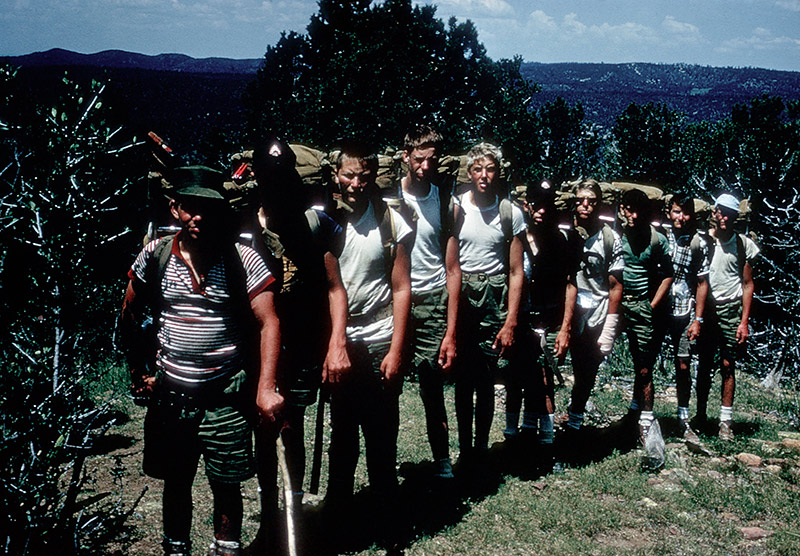
The crew ready for another day on the trail
Our last full day on the trail, and our last group picture before heading out to Indian Writings Camp.
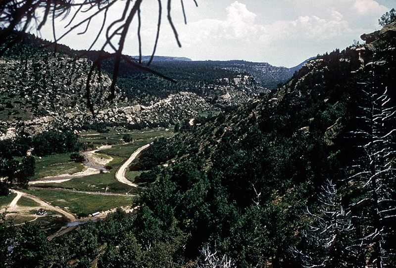
Looking down towards Indian Writings area
This picture was taken as we were starting our descent to the Indian Writings Camp. This part of Philmont had been severely flooded one or two years before our trip, the result of some unusually heavy rains. In some of these pictures you can see how the stream cut several different channels, and how roads and trails had not yet been completely restored.
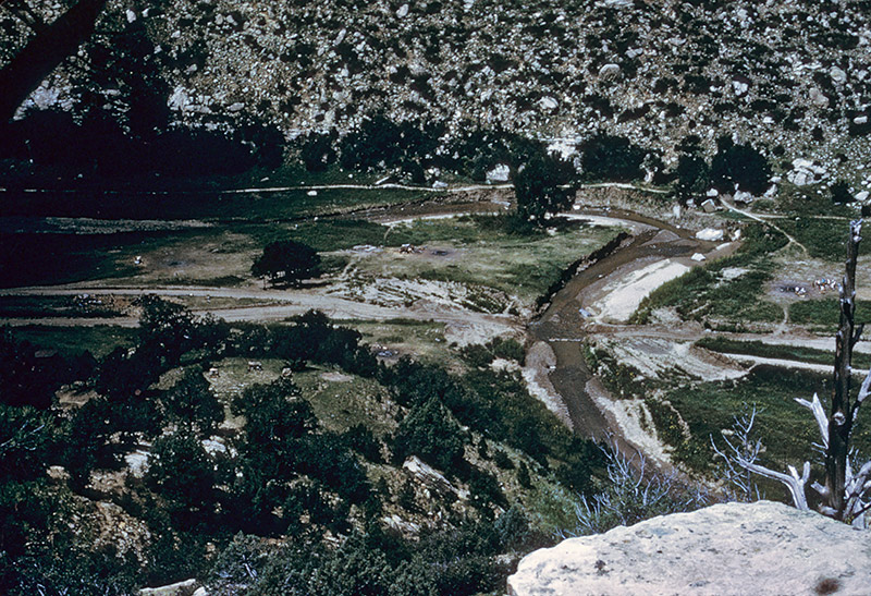
View of washed-out road
Here you can see how the road, which runs from left to right, crosses the stream, which runs top to bottom of the picture. We had to ford the stream for this and many other crossings.
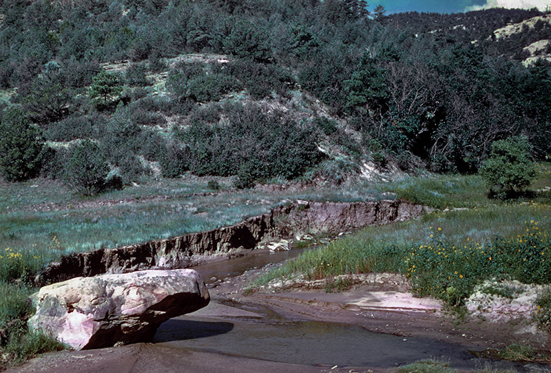
Washed-out stream banks
One advantage of all of the flooding was that the stream had created some great swimming holes. This was welcome news to us after a week on the trail.
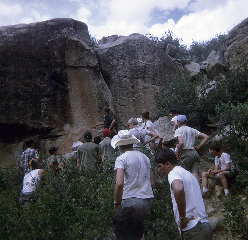
Ranger giving petroglyphics lesson
It's hard to spot in this size of picture, but there are several Indian carvings on the wall. Almost every one of them that was even vaguely circular in nature was pockmarked with bullet holes, for cowboys of years past seemed unable to see them as anything other than targets.
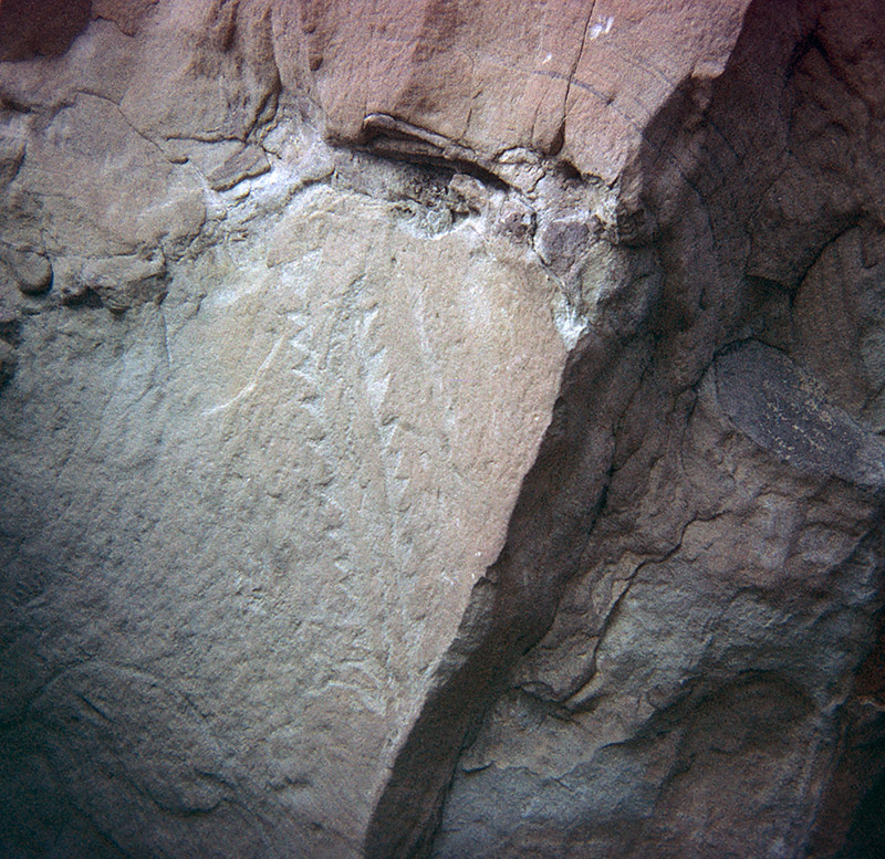
Saw-toothed carving
I can't remember what this shape was said to represent, but it sure looks like the business end of a swordfish to me. Sort of unlikely in the New Mexican desert, I suppose.
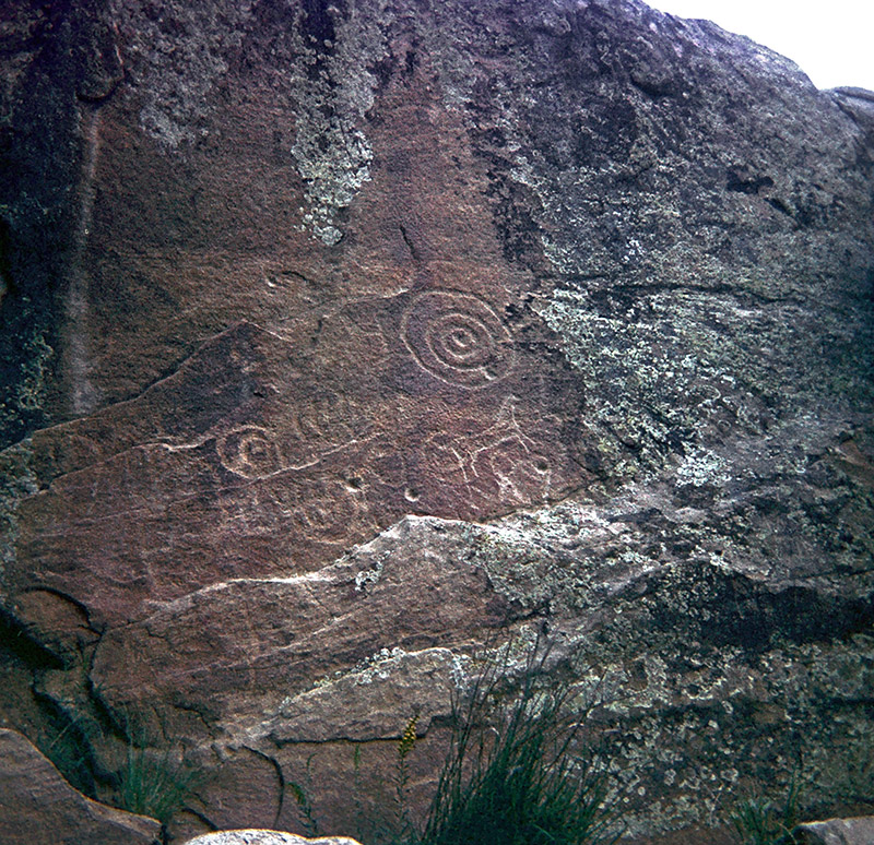
Circular and horse carvings
Here, both the circles and horses had been used as targets. What a shame.
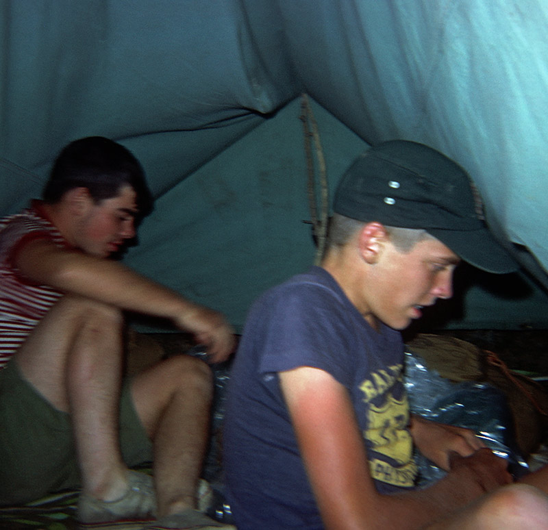
Spencer Bell and Jim Cotter
Two members of the crew spending some time straightening up their tent during their last night on the trail. Tomorrow we would all be back at Base Camp, and then heading home.